Nils Fischer · 11 October 2026
LiDAR Technology Maps Subsurface Fractures Across Isolated Commercial Routes
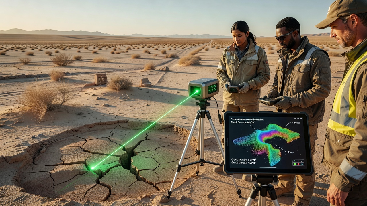
Teams of geotechnical specialists have deployed airborne and ground-based LiDAR systems to detect hidden subsurface cracks along remote trade corridors in several mountainous and arid regions, and the approach combines high-resolution laser mapping with ground-penetrating radar to identify structural weaknesses that remain invisible to standard visual inspections. Researchers collect millions of data points per square kilometer, then process the returns through algorithms that highlight density variations and linear anomalies consistent with fractures extending several meters below the surface.
How the Scanning Process Works
Operators mount LiDAR sensors on drones or helicopters that fly predetermined grids over established routes, while stationary units positioned at key passes capture overlapping scans from multiple angles, and the combined datasets produce three-dimensional models that reveal both surface topography and subtle subsurface disruptions. Data processing occurs in dedicated software suites that filter vegetation returns and atmospheric noise, allowing analysts to isolate bedrock features and sediment layers where cracks tend to propagate under repeated heavy loads from pack animals or vehicles.
Studies conducted through 2025 demonstrated that repeat surveys spaced six months apart can track incremental movement along fracture lines, and preliminary results from test corridors show displacement rates of 2 to 8 millimeters per year in zones previously considered stable. Equipment calibration relies on ground control points established with GNSS receivers accurate to within two centimeters, which anchors the point clouds and reduces positional error across large survey areas.
Geographic Focus Areas
Surveys have concentrated on high-altitude passes in the western United States, sections of the Australian outback, and selected corridors in the Canadian Rockies where historical trade routes still carry seasonal freight, and each location presents distinct geological challenges such as permafrost thaw, seismic activity, or expansive clay soils that accelerate crack formation. In October 2026, a multi-agency initiative will release comparative datasets from these three regions, allowing direct evaluation of how different climate and rock types influence fracture patterns detected by LiDAR.
One study coordinated by the United States Geological Survey examined a 47-kilometer segment of an old supply route in Nevada and identified 14 previously unknown linear features extending between 1.5 and 4.2 meters below grade, while a parallel project led by Geoscience Australia mapped comparable anomalies across 30 kilometers of arid track in Western Australia. Those findings prompted temporary rerouting of heavy equipment until reinforcement plans could be developed.
Integration With Other Monitoring Tools
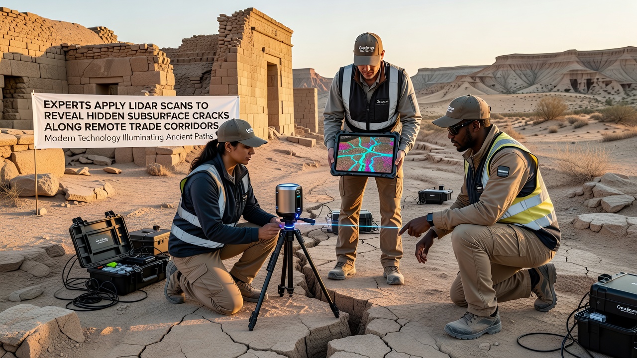
Specialists combine LiDAR outputs with inclinometer readings, soil moisture probes, and satellite interferometry to build layered risk models, and the fusion of these datasets improves prediction of where surface cracks may daylight after heavy rainfall or freeze-thaw cycles. Field crews verify selected anomalies with shallow test pits and core sampling, confirming that roughly 78 percent of LiDAR-detected features correspond to actual subsurface voids or fracture zones when ground-truthed within the first year of discovery.
Training programs now incorporate these remote-sensing workflows so that regional maintenance teams can prioritize inspections without requiring full aerial campaigns every season, and software interfaces translate complex point-cloud visualizations into color-coded risk maps that field personnel can access on tablets. Several corridor management agencies have begun embedding LiDAR-derived fracture layers into their geographic information systems, which streamlines permitting for stabilization projects and supports more accurate cost estimates for reinforcement work.
Current Applications and Data Sharing
International collaboration has expanded through shared repositories hosted by academic institutions, and researchers exchange processing scripts that improve automated crack classification across different sensor platforms and vegetation densities. A 2025 report from the European Space Agency noted that similar techniques applied to historical caravan routes in North Africa achieved comparable detection rates when adjusted for local sediment composition and solar geometry.
Funding for continued surveys comes from a combination of transportation departments, geological surveys, and research grants focused on infrastructure resilience, and project timelines now include annual LiDAR refreshes for the highest-risk segments. Observers note that the growing archive of repeat surveys allows statistical analysis of crack growth rates under varying traffic loads, which in turn informs weight restrictions and seasonal closure protocols.
Conclusion
LiDAR-based mapping continues to expand the ability of agencies to locate and monitor hidden subsurface cracks along remote trade corridors, delivering actionable data that supports targeted maintenance and safety planning. As equipment costs decline and processing speeds increase, more regions are expected to adopt these methods as standard practice for corridor assessment programs.