Xander Hartmann · 13 September 2026
Indigenous Initiatives Revitalize Historic Trade Routes Through Sustainable Tourism and Wildlife Monitoring
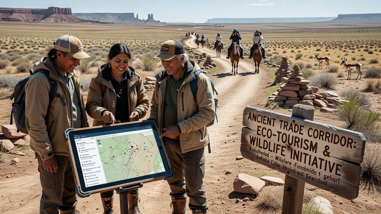
Communities across multiple continents have developed tourism programs that follow historic trade paths while embedding real-time wildlife tracking into visitor experiences, and these efforts draw on centuries-old knowledge systems alongside current sensor networks and satellite feeds. Data from collar transmitters and camera traps now informs trail management in regions where caravans once moved goods centuries ago, and operators adjust group sizes and routes based on animal movement patterns recorded in shared databases.
Historic Corridors Serve as Foundations for Modern Programs
Routes that connected resource areas, markets and settlements for generations now host guided walks and low-impact lodges managed directly by local groups, and planners integrate GPS logs from species like elk, jaguar and migratory birds to identify zones where visitor presence stays minimal during sensitive periods. In North America the Pacific Northwest coastal trails see seasonal closures coordinated with salmon run data, while similar systems operate along Andean foothill paths and Australian outback stock routes. Research from the University of British Columbia shows that incorporating Indigenous seasonal calendars into scheduling reduces disturbance to nesting sites by measurable percentages compared with fixed calendars used in earlier decades.
Wildlife Tracking Integrates with Visitor Education
Visitors receive briefings that combine oral histories of trade exchanges with live feeds from tracking collars, and this approach turns each outing into an opportunity to observe how animal behavior aligns with traditional indicators such as plant flowering times or water levels. Handheld devices supplied by operators display anonymized movement maps updated hourly, yet the underlying datasets remain controlled by community councils that set access rules. A 2025 report prepared for the Australian Department of Climate Change, Energy, the Environment and Water documented a 27 percent increase in repeat bookings when programs included these combined cultural and biological layers.
September 2026 Data Sharing Agreements Expand Scope
Meetings scheduled for September 2026 in Canada and Peru aim to link separate tracking platforms into a single protocol, allowing communities along the old Silk Road remnants in Central Asia to compare methods with groups in the Americas. The proposed framework specifies open-source code for data visualization while preserving ownership of raw location records with the originating Indigenous organizations. Observers note that such linkages could support cross-continental studies on species that follow similar elevation gradients on trade-era paths.
Economic Structures Support Long-Term Operations
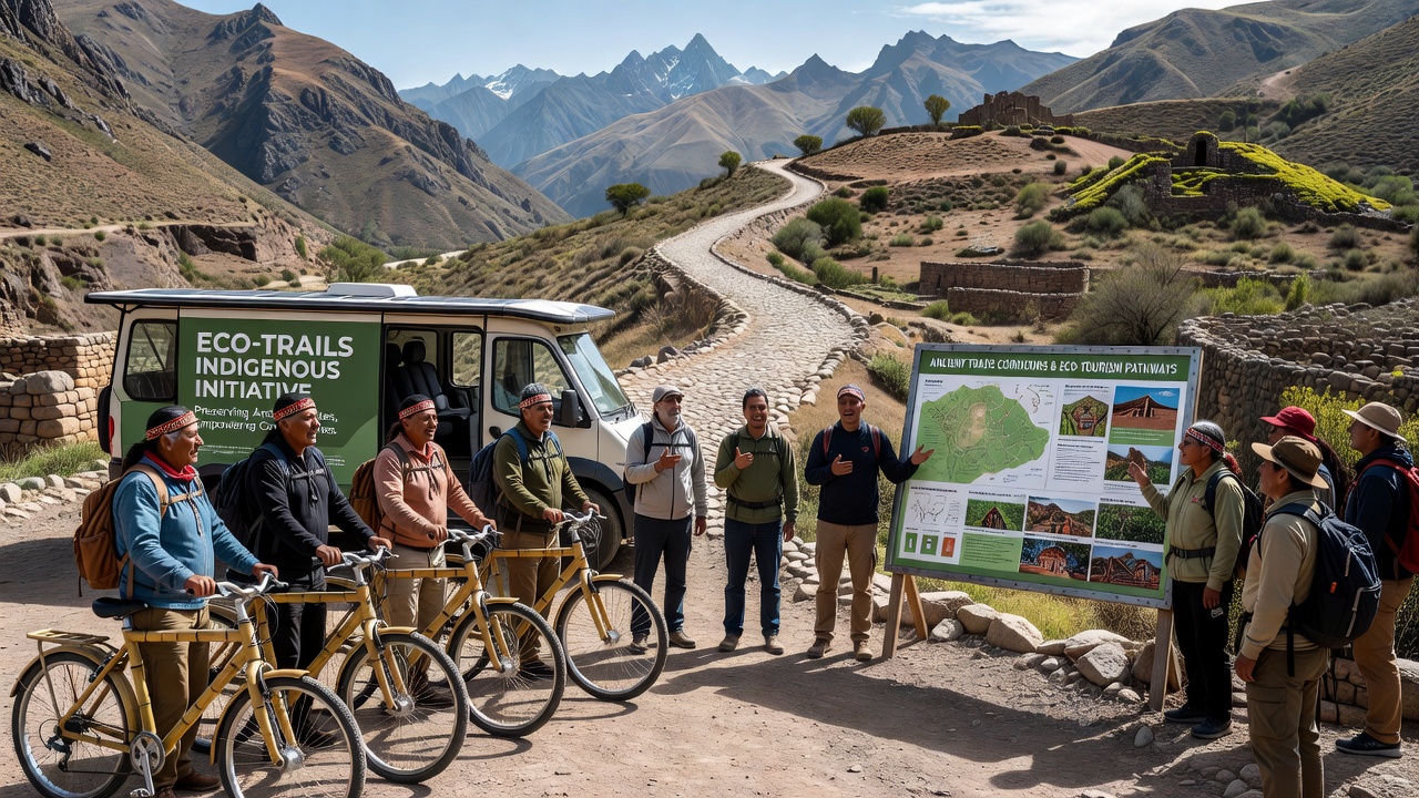
Revenue models rely on per-visitor fees that flow into community trust accounts used for equipment maintenance, youth training and habitat restoration projects, and independent audits by regional development banks confirm that at least 68 percent of collected funds stay within the managing territories. Training programs certified through national vocational systems teach both traditional navigation and basic electronics troubleshooting, so local residents handle most technical tasks without external contractors. One study released by the International Union for Conservation of Nature in 2024 tracked employment figures across five corridors and recorded steady growth in full-time positions tied directly to these tourism and monitoring activities.
Challenges Appear in Data Governance and Infrastructure
Bandwidth limitations in remote sections require solar-powered relay stations that sometimes fail during extended storms, and communities respond by maintaining paper backup logs of key sightings that get digitized upon return to villages. Privacy protocols limit public display of exact den or calving locations, yet aggregated heat maps still convey seasonal patterns useful for planning. Government agencies in New Zealand and Norway have begun offering matching grants for hardware upgrades when Indigenous operators demonstrate compliance with existing environmental impact thresholds.
Conclusion
Programs that combine ancient corridors with contemporary tracking tools continue to expand as more communities formalize agreements and refine data-sharing standards. Figures from multiple agencies indicate rising participation rates, and the September 2026 meetings may accelerate connections between distant networks. The resulting tourism offerings deliver both educational value and direct support for habitat monitoring, all while keeping decision-making authority with the groups whose territories contain these historic routes.